The Trans Catalina Trail (TCT) is a 39 mile mini thru hike across the entire island of Catalina in the California Channel Islands. Permits are required for this trail as well as a ferry ticket to and from the island 30 miles off the coast.
We obtained our permits earlier in September for this hike by calling the Two Harbors Conservancy number on their website. I highly recommend calling in to check availability and have the ranger give you recommendations of their favorite campsites to book. Due to the Catalina Flyer in Newport Beach being out of commission for the entire season for maintenance, we booked our boat ride to and from the island on the Catalina Express out of Long Beach on the 5th, and returning to San Pedro on the 9th. We decided to do this hike in five days to really enjoy our time out there hiking across a relatively desolate island during their off-season.
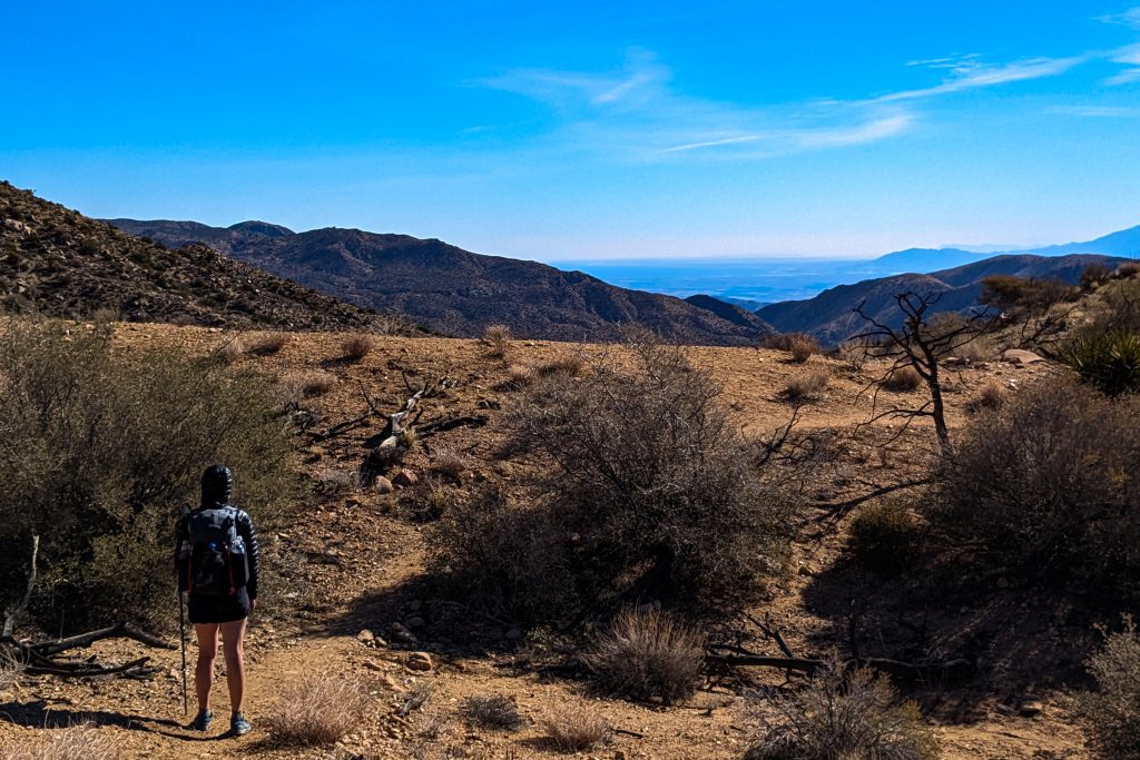
Day 1: We departed from Long Beach at 6 am and arrived at Avalon around 7:30 am on Saturday the 5th. We had a quick breakfast in town at Hungry Jack’s Diner before heading to the trailhead. The first day of this hike was hands down the toughest part. The max elevation is only about about 2000 feet, but the 9 mile stretch from the trailhead to the first campground (Blackjack Campground) is constant climbing and descending over the rugged terrain. Just as you climbed yet another pass, you’d get to the top to notice the trail descends once more only to go back up again. This went on for hours. We reached Blackjack around 4pm, set up camp, and made dinner as the sun was setting. We then immediately went to bed for an early start our second day at the crack of dawn.
Day 2: On the 6th, we woke up early, broke down camp, and decided to hike two miles straight to Airport in the Sky for breakfast and a drink. The Café there was great and much better than I was expecting based on the description from others online. I had a gigantic breakfast burrito that may have been the best I’ve had in years. They also have a store with resupply snacks and merchandise if you need anything you may have forgotten to pack. After breakfast, we hiked quickly along the ridgeline 9 miles to our second campground at Little Harbor. The hiking on day two had much less elevation change and we were flying down trail. We stumbled into our first herd of Bison about 5 miles in. Of course there were about a dozen of them hunkered down directly on a steepest part of the ridge. We had to bushwhack down the side of the hill and around them as they were displaying territorial warning signs to us and seemed quite pissed off we showed up to the party.
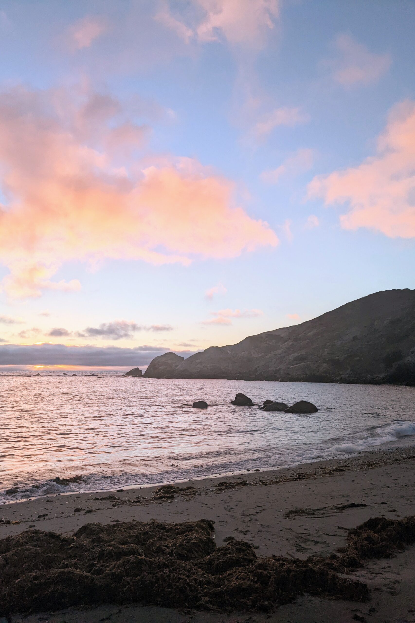
We got a killer spot at Little Harbor right on the sand thanks to the recommendation from the ranger we spoke with while booking. We spent the evening on the beach hanging out with another hiker we met on day one. After sunset, we started to see the first signs of bad weather that was expected for the 7th. We went to sleep to a light drizzle expecting the incoming storm to bring a little water, but nothing serious.

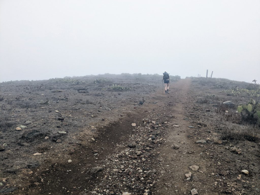
Day 3: The day of the 7th was hands down my favorite day on trail. The hike from the West side of the island across to Two Harbors was perfect. This is the most remote section and it really feels like you’re alone on a desert island. Due to the storm that was rolling in, visibility was only about 100 feet so unfortunately we didn’t get those picturesque views of the Pacific Ocean from the bluffs that we had heard of, but hiking in the thick fog was very refreshing; especially with all the climbing. The terrain is very steep on this section of the island up to Goat Viewpoint. The rocky trail under your feet tends to slide out with every step you take making traction practically non-existent, but once you get up past the highest peak, it’s a smooth ride all the way down to Two Harbors.

Once we arrived at Two Harbors, we went to the Harbor Reef Café to get a burger and then took a shower and did laundry. Yes, they have hot coin showers and coin laundry available to the public in town. After putting our clothes in the dryer, the storm really started to roll in and get dark. The wind picked up and you could tell this was going to be much larger and more aggressive than previously predicted. After we finished our errands, we made our way to the Harbor Reef Restaurant and Bar to have a few drinks before heading to Two Harbors Campground to set up camp. Hanging out at a bar with a buzz just sounded so much better than sitting around camp in the wind and cold until night. While at the bar, we met up with a few other hikers we met on trail and word had spread that the Conservancy was planning on shutting down access to the final campground Parsons Landing due to the incoming storm. We made our way to the check-in window to pick up the water locker key we needed for Parsons, and they confirmed the trail was in fact closing down due to the storm and unsafe conditions. They recommended we didn’t even stay at Two Harbors campground overnight due to the mudslides that were expected and offered to put a group of about 7 of us hikers in the employee cabins. After a bit of talking on what to do with a low morale, we all agreed it would be best to hunker down in the cabins and spend the rest of our trip drinking away our sorrows in the bar. We really had no other choice as the trail was officially closed.
The employee cabins were each about 12×15 feet large with a heater, fridge, and bed. As upset as we were to not finish this trail so close to the finish line, it was nice to have a warm and dry shelter to wait out the storm. We spent the rest of the night getting dinner and drinking in the bar with our new hiker friends. It was great getting to know everyone and we all made the best out of the crappy situation. The storm really picked up around midnight on the 8h until the late morning. The rain was absolutely dumping and falling horizontally from the high winds. The rangers were right about the dirt turning into complete clay when saturated. The northern tip of the island is extremely rugged and steep and hiking it on slippery clay next to cliffs into the ocean really would have been a major risk. One of the hikers we befriended finished the hike on the 7th before the shutdown, and was confident it would be nearly impossible to have finished during or after the storm due to the slippery clay.

Day 4: We spent the day of the 8th sleeping in until the storm had passed and then bummed around town with our new friends trying to kill time until the bar opened back up. In Two Harbors there’s only a small convenience store, a bar/restaurant, café, and the laundry room, so we didn’t have much to do other than eat and hang out in the common area of the cabins. At night we went back to the bar to play some pool, and share stories until it was good and late.
Day 5: On the 9th we hung out at the pier for a few hours chatting with our new friends for hours until the ferry arrived. We all boarded together to head back to San Pedro and said our goodbyes.
Summary: The TCT was such a special trail and I can’t wait to get back out there to fully complete it. We spoke of going back to finish the last section we missed as an overnight, but I think hiking the entire trail again from the start in three days would be much more fulfilling. I highly recommend this trail to anyone looking for a remote coastal hike. It really is a unique trail and there’s nothing else out there like it. Just make sure there’s no storms forecasted when planning it out.

